Navigation Map Display on Aircraft or Vessel Interior
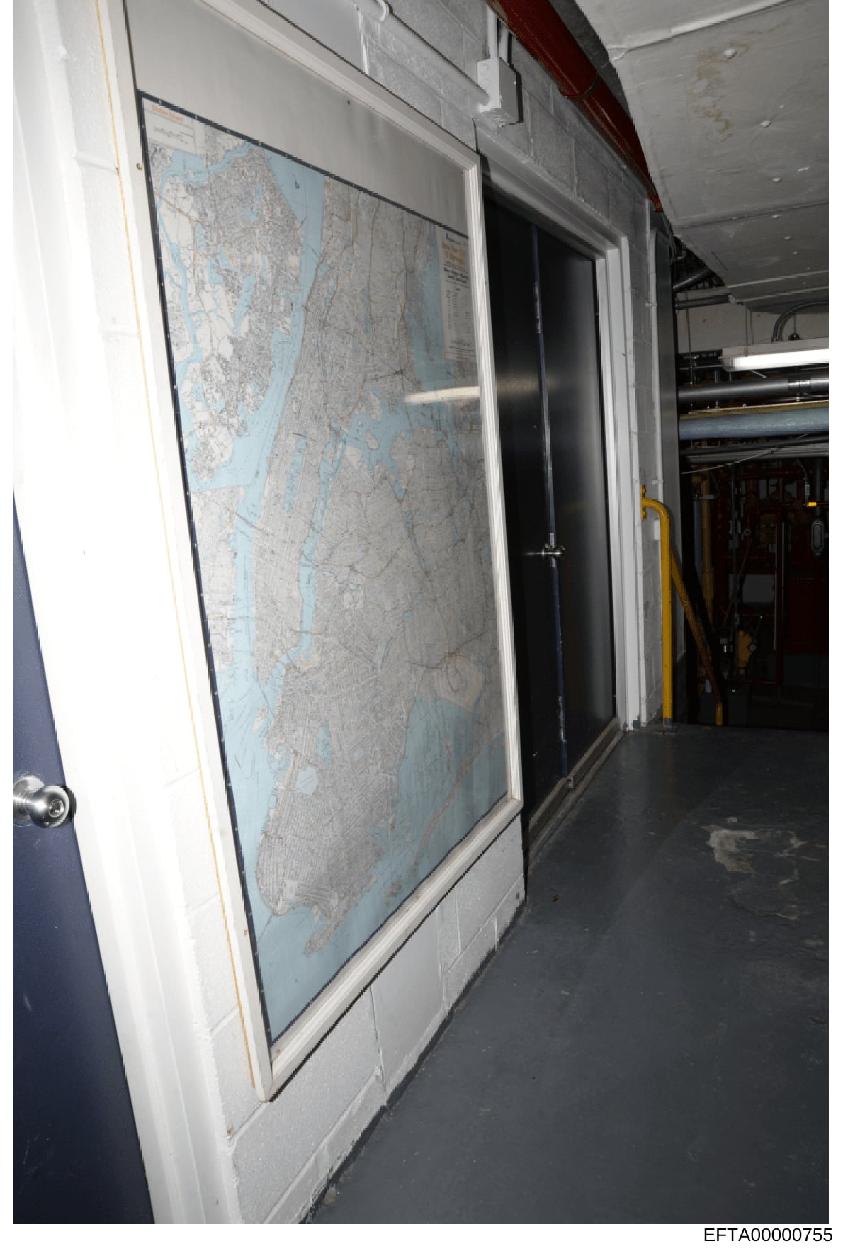
The image shows the interior of an aircraft or vessel with a large framed navigation map mounted on the wall. The map appears to be a nautical or aeronautical chart with blue-tinted water areas and detailed gray topographical information. The chart is mounted in a white frame with a dark border. The wall is white/light colored. In the background, a dark doorway and interior equipment are visible, along with what appears to be ceiling infrastructure, piping, and utility systems. The floor appears to be dark-colored flooring typical of aircraft or vessel interiors. Yellow utility equipment or handles are partially visible on the right side. The setting suggests this is documentation of the interior furnishings of a private aircraft or luxury vessel.