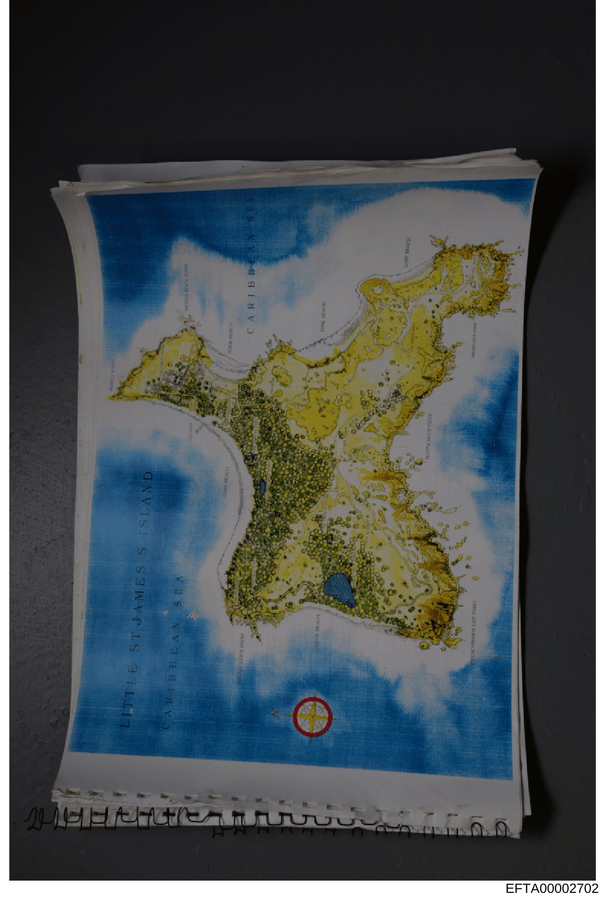
Map of The Bahamas and Caribbean Region with Geographic Markings
Photograph of a map showing The Bahamas and Caribbean region. The map displays: - Land masses colored in yellow/tan - Ocean areas colored in blue - Various island outlines and geographic features marked - Text labels for 'CARIBBEAN' and other geographic markers visible - A red circular symbol with concentric rings positioned in the lower central portion of the map, appearing to mark a specific location - The map appears to be on white/cream colored paper - Multiple pages or sheets are visible in a stack behind the main map - A Bates number (EFTA00002702) visible at bottom of photograph - The map is photographed against a dark background